Hi there!
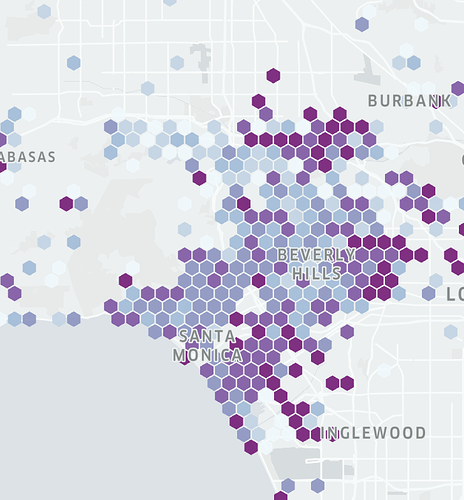
For example, I have data with coordinates (lat/lon) and the ratio. I need to generate hexbin grid on geomap. I searched very carefully, but I can’t find the example in dash plotly, only how to make choropleth map, based on polygons.
But here I need more simple solution, just to aggregate in hexagons (I think should be a parameter like radius in km or something like that).
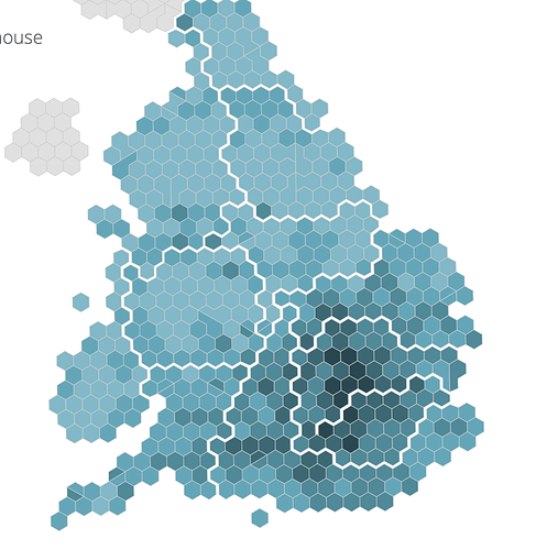
I attach the screenshot of example of doing this in another tool.
Thank you in advance!!


