Hi all,
Has anyone added a rotation control for 2D plots? You can see the issue below where the sonar data in the y axis would be better aligned in a landscape rotation.
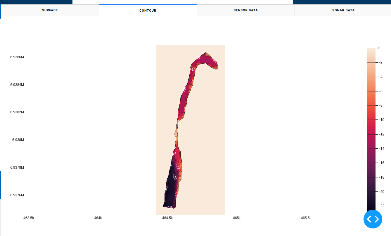
I have a variety of sonar datasets with UTM x and y coordinates that I am plotting. I need to keep the default x and y orientation, but I would like to be able to rotate the map if possible when exporting/saving the images? Ideally this could be done by adding a rotation icon in the controls if possible? Has anyone else had this issue?
Thanks in advance for any advice!
Cheers