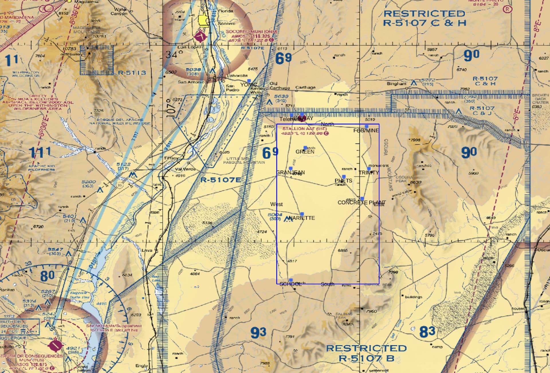
Is it possible to use custom basemaps with plotly? We would like to plot some navigation data on aviation maps. I’ve attached a sample below. I’m not an aviator, myself, so I’m going to have to get more information on where we can obtain these maps and what kind of metadata they come with. But in general, how difficult is it to swap out basemaps with a custom one?
Thanks in advance!
–Bill