Hi everyone!
I love taking photos with all kinds of devices, from low-resolution vintage gear and early 2000s digital cameras to Polaroids and DIY pinhole cameras (this one was a fail for me).
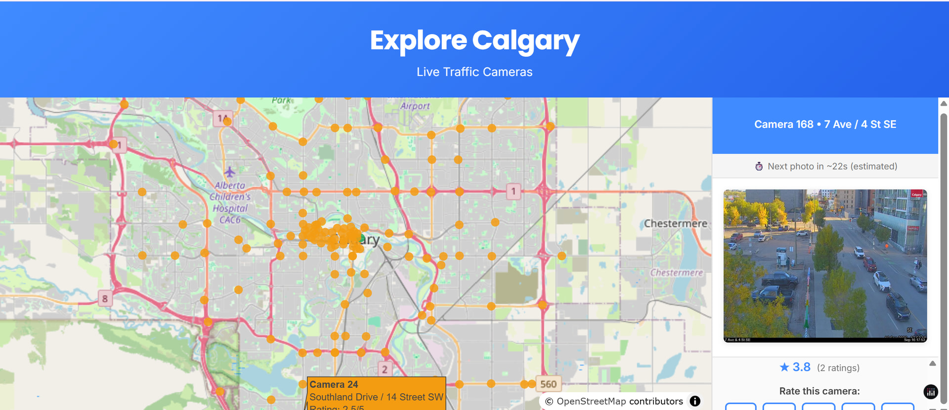
Recently, I decided to take this passion into data visualization! Using the superpower of Plotly Studio paired with Calgary’s open data API, I created an interactive app that maps the city’s public camera feeds and transforms them into a fun photo-capture tool.
Key Features Built in Plotly Studio:
 Interactive Camera Map: Pins every public camera using live geolocation coordinates.
 Live Image Preview: Displays the latest image feed from any selected camera.
 Pose Timer: A built-in countdown reference so you can strike a pose in front of the camera!
 Download Option: Save the public camera snapshot directly to your device.
 Community Rating System: Vote on the best cameras across the city for taking unique photos.
Plotly Studio made it incredibly fast and intuitive to turn raw public endpoints into a fully functional, interactive web app.
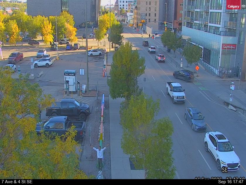
After some tries I got a nice pic with the street camera close to my place.
Let me know what you think, or if you have any ideas for new features!

