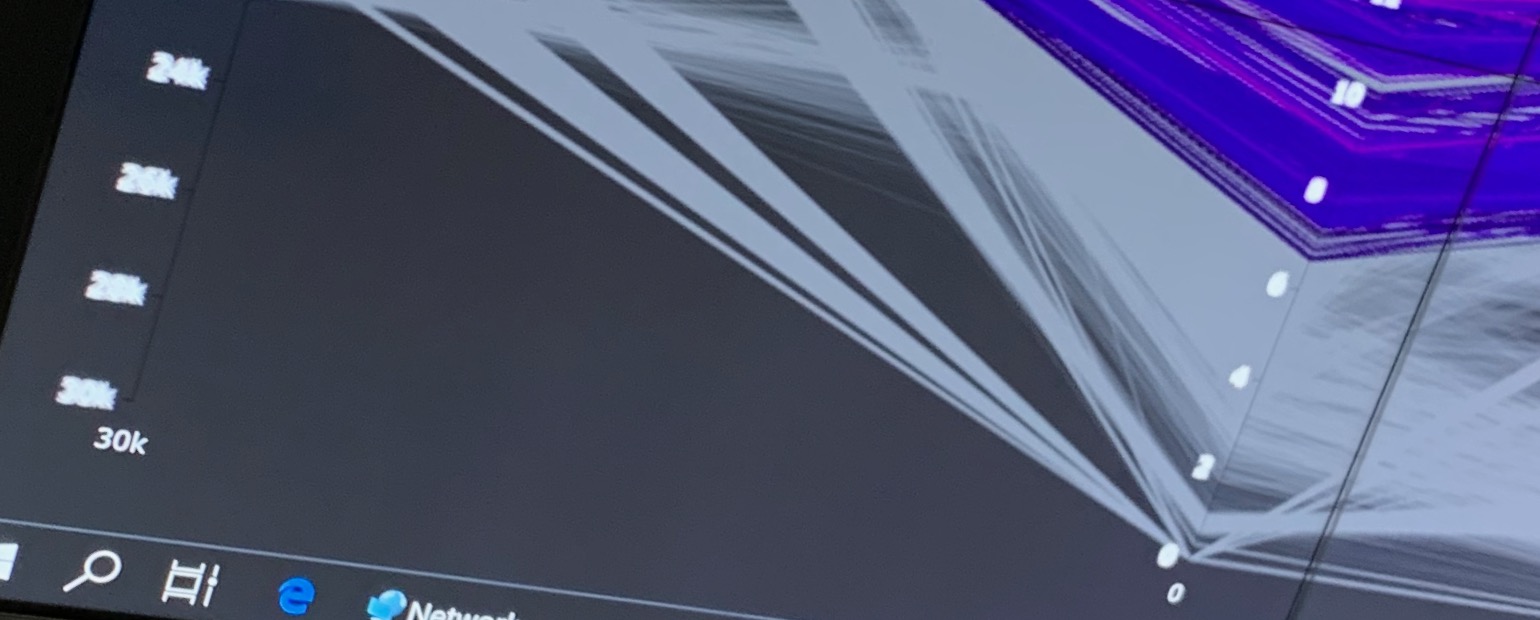
to save an parcoords image as .svg/.pdf, some parts of the image (the graphs) will still be
raster graphics.
Unfortunately, i have not found any option to avoid this behaviour.
Is there any option or workaround known for this issue?
I think I have the same raster text on the axis which doesn’t make sense for me (min, max value are in vector format), only the scale is in ugly raster format, very clearly visible on a large (10+ meter) screen. Surprised by the answer “not technically possible”, but it is possible for the title, min, max values to be correctly displayed (in a vector format).