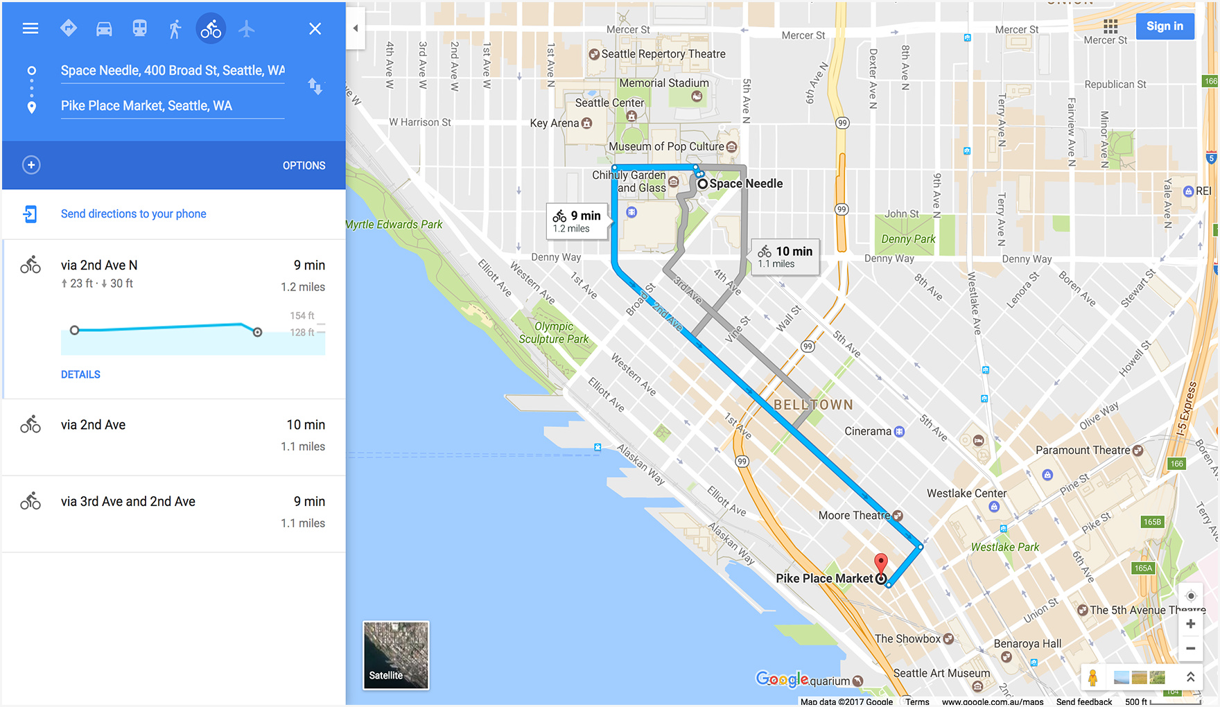
Basically I am using openweathermap API to capture the location coordinates of From place and To place. Thereafter, using mapbox API, I capture the route. To highlight the route, again we need coordinates to join them all as a line.
def get_location(name):
	name = name.lower()
	url = 'http://api.openweathermap.org/data/2.5/weather?q='+str(name)+'&appid='+str(<your_openweathermap_api>)
	open_url = urllib2.urlopen(url)
	open_w = json.load(open_url)
	ll = [i[1] for i in open_w['coord'].items()]
	lat = ll[0]
	lon = ll[1]
	return lat, lon

def map_locations(home, dest):
	initial_lat, initial_lon = get_location(home)
	final_lat, final_lon = get_location(dest)
	return initial_lat, initial_lon, final_lat, final_lon
We make use of the above functions to capture the coordinates of From and To.
To capture the coordinates of the route path, we need to use of mapbox API.
def get_route(home, dest, travelling_mode):
	initial_lat, initial_lon, final_lat, final_lon = map_locations(home, dest)

	mapurl = 'https://api.mapbox.com/directions/v5/mapbox/' + str(travelling_mode) + '/' + str(initial_lon) + ',' + str(initial_lat) + ';' + str(final_lon) + ',' + str(final_lat) + '?geometries=geojson&access_token=' + str(<your_mapbox_api>)
	openmap = urllib2.urlopen(mapurl)
	mapjs = json.load(openmap)

	lons = []
	lats = []

	for ks in mapjs['routes']:
		for k, v in ks.items():
			if k == 'geometry':
				for eachk, eachv in v.items():
					if eachk == 'coordinates':
						for eachloc in eachv:
							lons.append(eachloc[0])
							lats.append(eachloc[1])

	return lats, lons

# print(get_route('hyderabad', 'chennai', 'driving'))
And finally we have to plot them all.
lats, lons = get_route(`home`, `dest`, `travelling_mode`)
go.Scattermapbox(
	lat=lats,
	lon=lons,
	mode='lines',
	line=dict(width=2),
	marker=dict(
		size=5,
	),
       text='{} to {} : {}'.format(str(`home`).title(), str(`dest`).title(), str(`travelling_mode`).title()),
       hoverinfo='text'
)
MapBox provides 3 types of traveling mode - Driving, Cycling and Walking. Make sure to have the api keys to get the data.
Hope this will solve your issue.